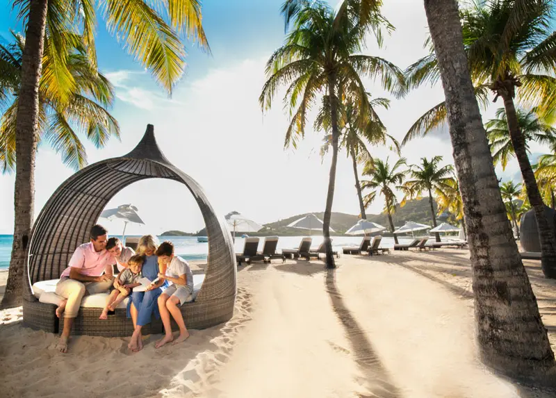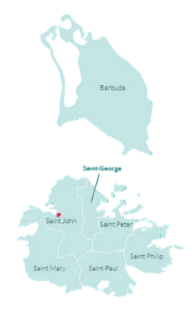
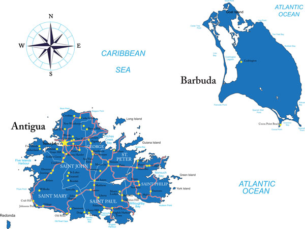
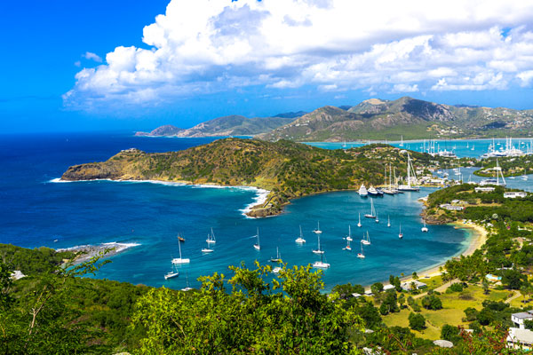
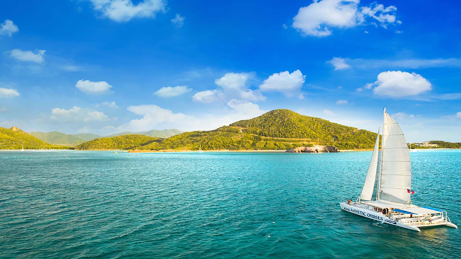
The island of Antigua
Antigua is a captivating volcanic island that emerged from the sea around 30 million years ago. Spanning 108 square miles and home to nearly 80,000 friendly residents, it features lush limestone landscapes and stunning vistas. Don’t miss Boggy Peak, the island’s highest point at 1,319 feet, offering breathtaking panoramic views.
The island of Barbuda
Just 28 miles away lies Barbuda, a serene haven known for its untouched beauty. Covering 62 square miles and with a population of just 1,300, this island is a treasure trove of natural wonders. Explore its pristine lagoons and expansive beaches—some stretching over 12 miles—where you can relax and soak in the sun. Barbuda is also home to the world’s largest breeding colony of the Magnificent Frigate Bird, making it an ecological paradise. With its diverse habitats and abundant wildlife, Barbuda remains one of the Caribbean's best-kept secrets, where nature thrives in harmony with tranquility.